GIS portfolio
Maps and spatial figures, grouped by theme. Choose a theme to see its maps.
How these maps were made. Maps from the published paper (Beckwith et al. 2026) were made by hand in ArcGIS. All other maps, including new additions, were made in QGIS with AI-assisted Python (PyQGIS) scripting.
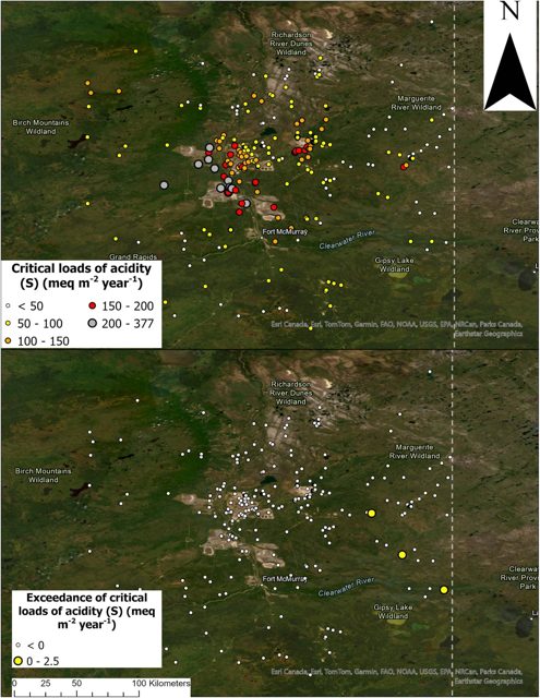 Soils and deposition
Acid and alkaline deposition and soil critical loads in the Athabasca Oil Sands Region, from a 2026 paper.
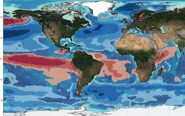 Ocean carbon pumps and export
Air–sea CO2 exchange, the biological, solubility and carbonate pumps, and export production.
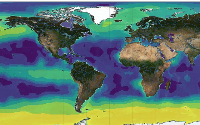 Surface ocean productivity and light
Net primary productivity, surface nutrients, surface UV and CDOM, and measured quantum yields.
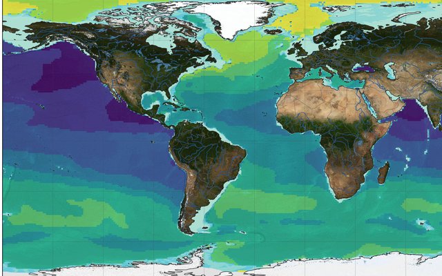 Deep ocean carbon and water masses
Radiocarbon, dissolved organic carbon, oxygen, nitrate and temperature at 1000–3000 m.
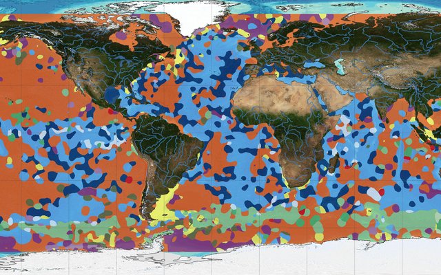 Land, soils and seafloor
Soil organic carbon with ocean DIC, global evapotranspiration, and seafloor sediments.
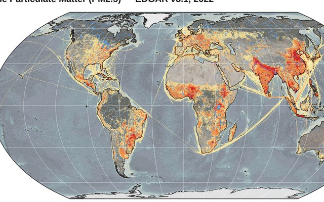 Air pollutant emissions
Global gridded emissions of air pollutants from EDGAR.
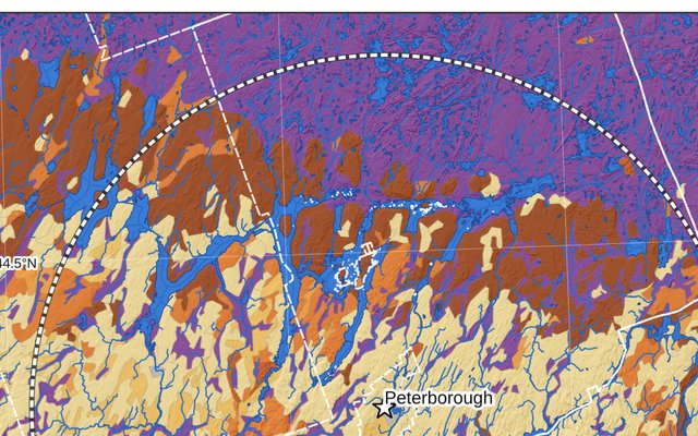 Peterborough region
Farmland, soils, watersheds and hydrometric stations around Peterborough, Ontario.
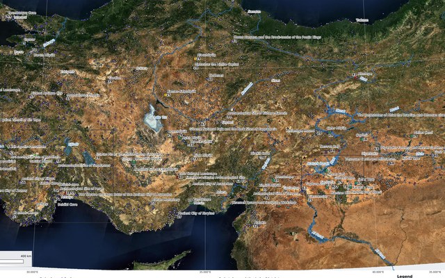 Archaeology of Türkiye
Archaeological sites of Türkiye, Palaeolithic to Ottoman, with an Istanbul–Gömeç driving route.